
Explore California's Redwood Coast
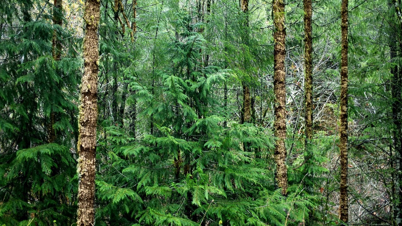
Redwood trees in California
Story and photos by Amy Werblin
Amy is a copywriter with 360i in New York City.
California’s Redwood Coast is one of America’s most breathtaking landscapes.
This scenic region runs north from San Francisco through Humboldt County and Redwoods National and State Parks along Highway 101, which carves through a wooded and coastal landscape on its way to the Oregon border. While the Redwood Coast has long been a road trip destination, tourism really took off at the tail end of the 19th century when John Muir, with the wholehearted support of then-president Teddy Roosevelt, founded the Sierra Club in an effort to promote preservation and recreation in Yosemite National Park and beyond. It may come as no surprise, then, that California’s famed drive-through trees, mostly giant sequoias, were carved out in the same era. Today, the Redwood Coast, with its towering groves, dramatic waterfront and charming hamlets is a road trip not to be missed.
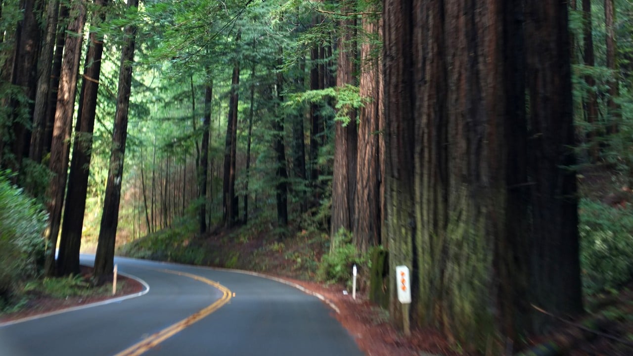
Road through redwood trees
Leaving San Francisco
The most quintessential way to start a Redwood Coast road trip along the 101 is to leave the Bay Area by way of the Golden Gate Bridge. The bridge, which connects San Francisco proper with the Marin Headlands, provides vacationers their first glimpse of vistas yet to come as the bay waters clear their confines and connect to open ocean. The highway provides easy access to the Muir Woods and Muir Woods National Monument, where giant redwoods abut hiking and walking trails popular with day-trippers from the city and travelers alike.
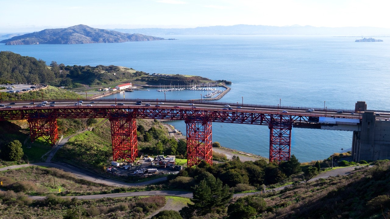
Golden Gate Bridge
To Coast or Not to Coast
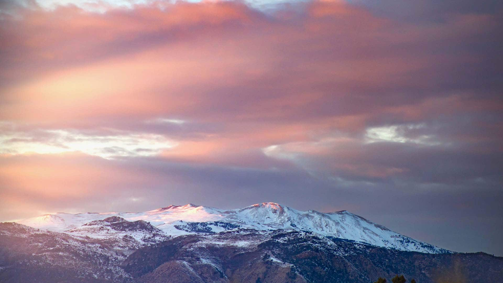
After crossing into Marin County, drivers have the option to stay the course along the waterfront, following the Pacific Coast Highway (aka Highway 1) north to Mendocino, or following the 101 inland, heading directly to Humboldt County. Traditional Redwood Coast road trippers would argue that the real adventure begins north of Eureka, about four hours from San Francisco. The landscape along the way is truly breathtaking, with rolling hillsides, giant redwoods, and wineries dotted throughout the countryside. Along the coastal route, travelers will wind along the cliffs overlooking improbably serene ocean vistas, through quaint towns and over stunning bluffs.
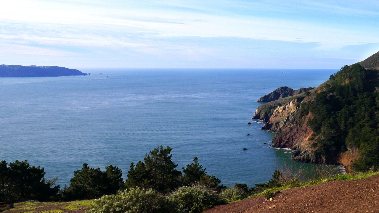
California coast
215 Miles North
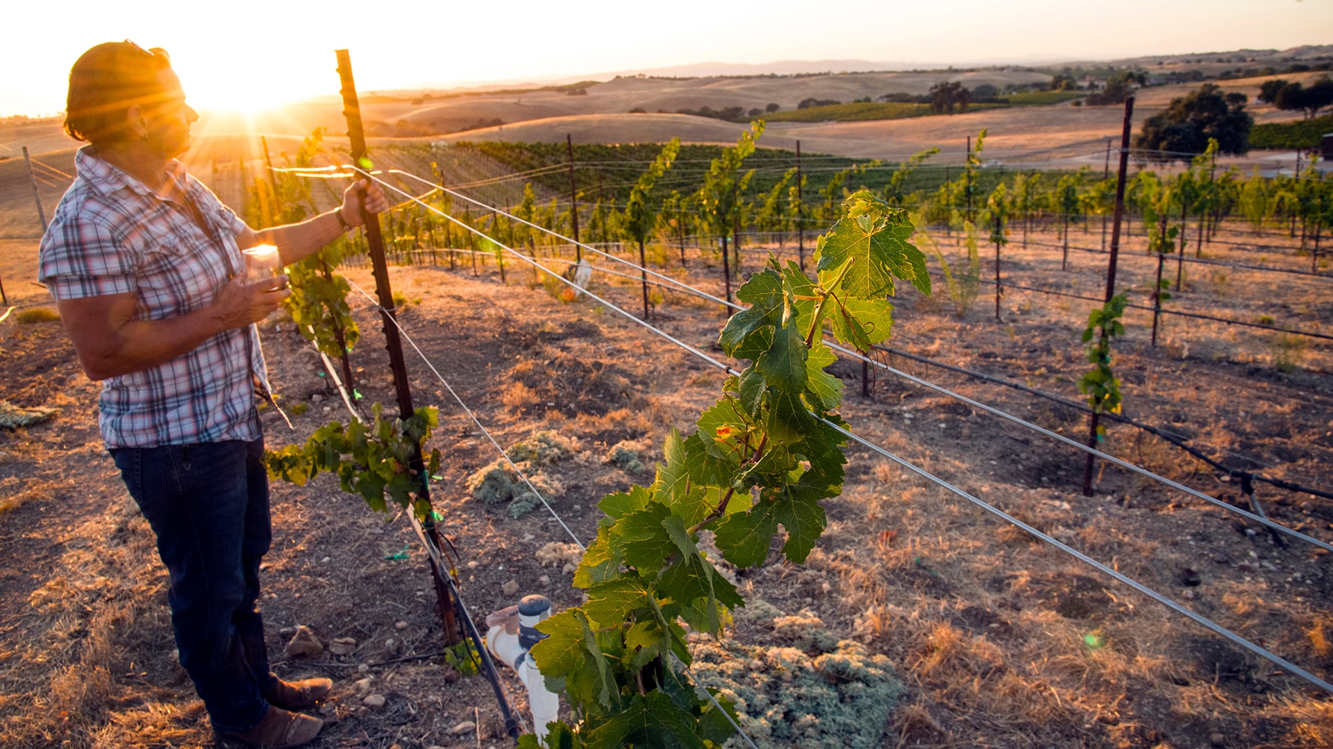
Drive just a few miles up the 101 and you’ll start to feel a change in the air. As the city drops away and becomes suburbs and the suburbs slip into the countryside, the landscape will begin to bend and fold, farms bowing over a terrain bursting with vineyards, Christmas tree farms and flowers bound for florists all over the state. The winding highway is punctuated by wineries and tasting rooms, both world-renowned and obscure, grazing alpacas and other farm animals, and stands selling freshly plucked goods like produce and eggs.
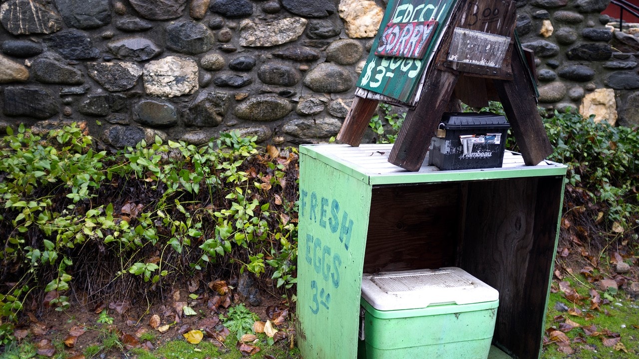
Egg stand
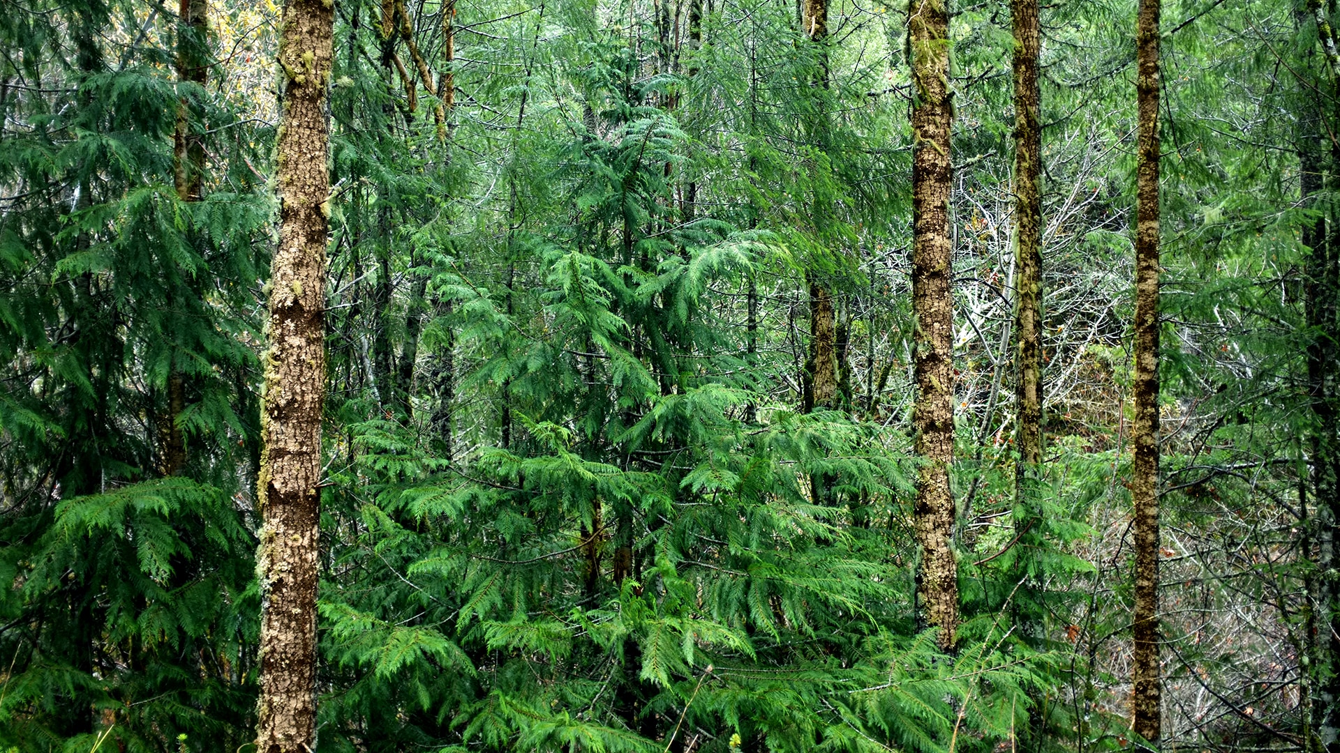
The Redwood Forest
Several miles north of Fort Bragg, the Pacific Coast Highway will merge with the 101 and continue on to Eureka, a historic, Victorian-era village on the northern California seaside — and the gateway to Humboldt Bay and the rest of the county. This 30-mile stretch of road is known as the Redwood Highway (yes, of “This Land is Your Land” fame) and certainly lives up to its name. Vast portions of the road are flanked by the impossibly tall trees from which it takes its name. It also provides access to the southernmost entrance point of the Avenue of the Giants, a road that runs parallel to the 101 and is home to giant redwood groves and two of California’s famed drive-through trees.
The Lost Coast
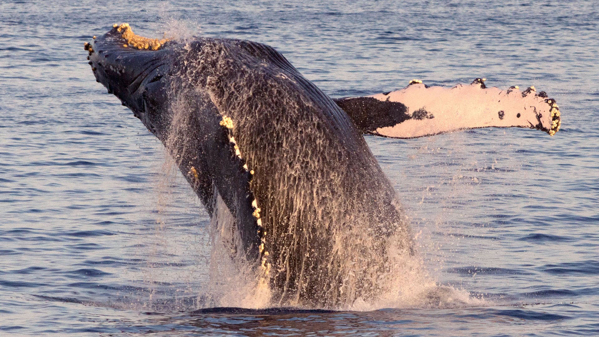
Along the coast just south of Eureka, road trippers will encounter California’s Lost Coast, a breathtaking territory spotted with small, cliffside towns, trails that wind up and over ocean bluffs, and campsites and inns right on — or in some cases hanging over — the beach. Drive for any length of time along the sea here and you’re bound to spot humpback whales, pass by serene coves and private swimming beaches, and venture down main streets stuck in another century. Many find the solitude of the sparsely populated coastline seductive, with vast swaths of oceanfront legally protected from large developments.
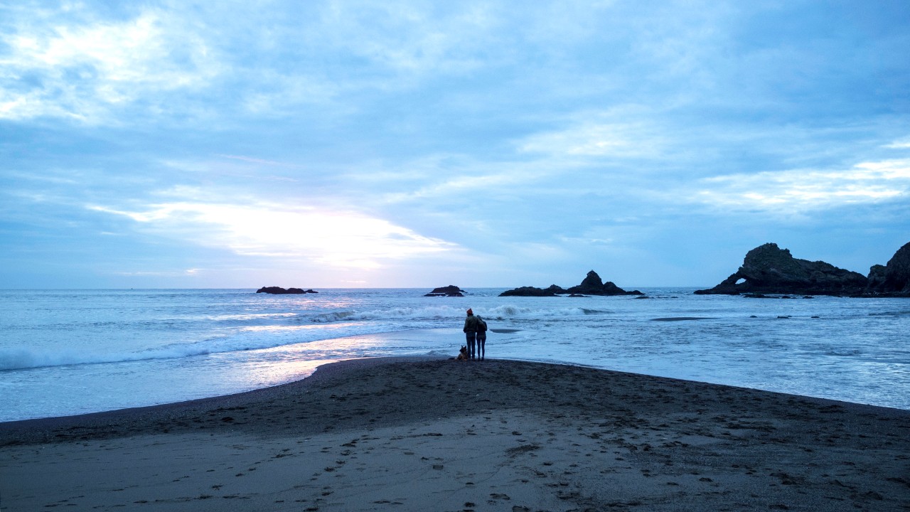
California's Lost Coast
California’s Backbone
Fifty years after California’s great gold rush of 1849, the state’s swelling population brought attention to the aging system of locally maintained, mostly dirt roads that were showing wear. The state legislature created the country’s first "Department of Highways," which visited every county in the state in order to design a functional and mutually beneficial system of roads statewide. By 1920, over 5,500 miles of interconnected state highways was finished or nearing completion, paving the way (so to speak) for California’s economic and political dominance and stitching together a vast and diverse collection of towns and cities. Today, the focus of much debate has shifted considerably, with many arguing against the continued expansion of California’s highway system in favor of improving and growing mass transit.
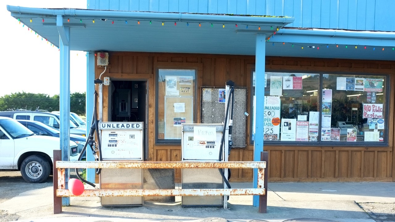
Old gas station
Growing Giants
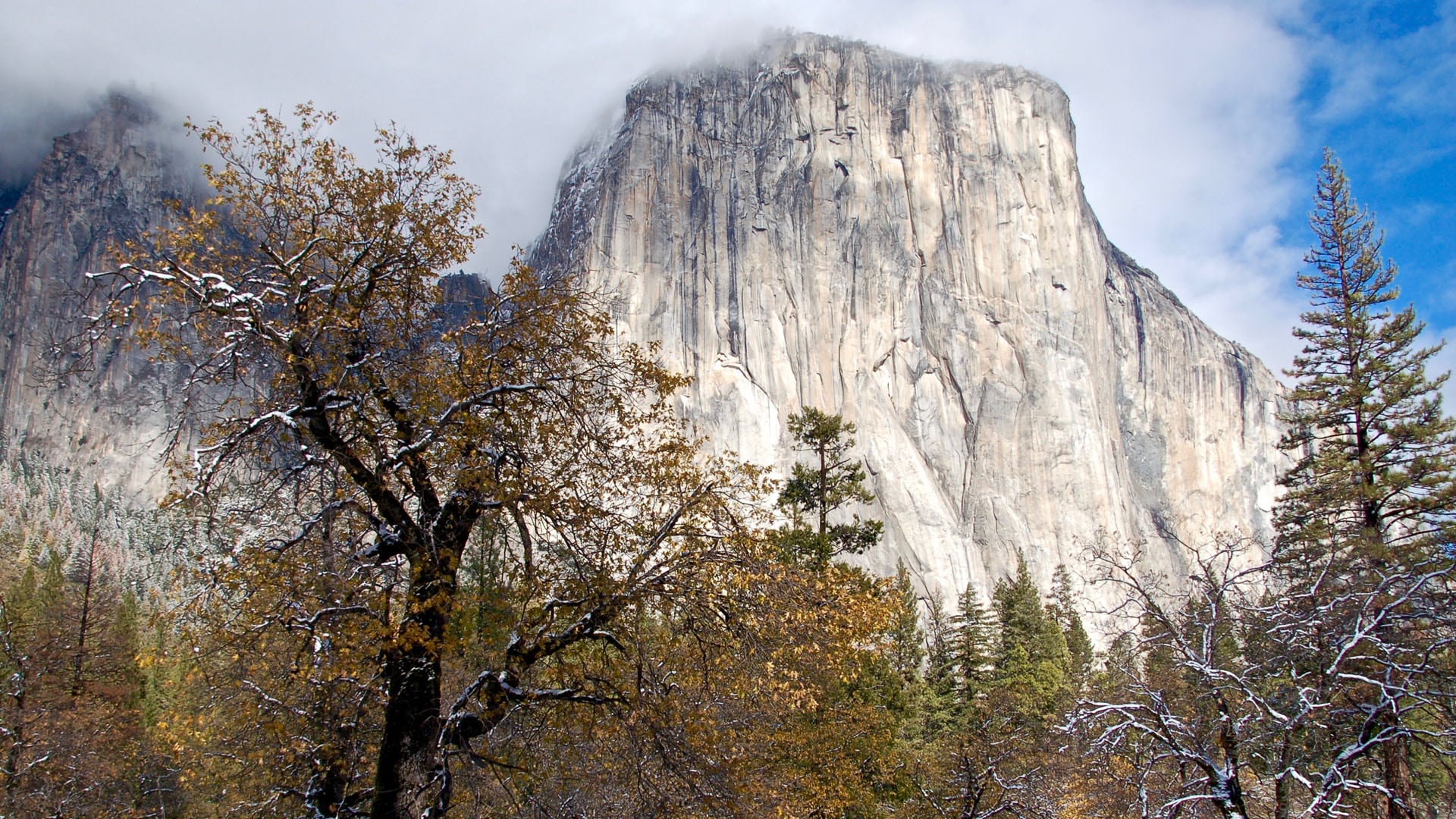
California’s northern coastal region is the only place in the world with the proper location, climate, and elevation for giant redwoods to thrive and they’ve been known to exist in the area since at least the Jurassic Period. The oldest and largest of these trees are regularly 350 feet tall and more than 2,000 years old, with the average age regularly exceeding 600 years. But the redwoods do not stand alone; these forests rely on the presence of all kinds of flora and fauna to survive. Evergreen varieties like the mighty Douglas fir and the leafy tanoak grow liberally between furry western hemlocks and paper-skinned madrones while a number of fungi and mosses grow on the forest floor and continuously revive the soil.
All Roads North
Behind the redwood curtain, as it's sometimes said, lays an historic slice of rural California. As Eureka gives way to Shasta-Trinity, Six Rivers and Klamath National Forests, interstate highways give way to single-lane back roads that wind between narrow mountain passes, dance back and forth on switchbacks, follow winding rivers and traverse dense forests. A sizable portion of the residents here are firefighters with the U. S. Forest Service, with a mission to protect the, “health, diversity and productivity of the nation’s forests.” Though the area is humid and dissected by rivers, nearly 3,000,000 acres have seen significant devastation due to rampant forest fires and sustained drought.
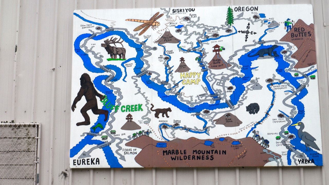
Map of Eureka
Related
Read more stories about California.


- Weekend Getaway to San Diego, California
- Rediscovering California’s Eastern Sierra
- Road Trip to Five National Parks Near Los Angeles
- California Coast People
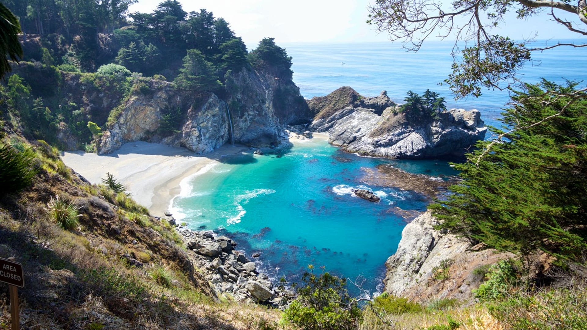
- Road Trip to Big Sur
- Road Trip to See Whales
- Nostalgic Route 66 Road Trip: Santa Monica to Albuquerque
- Insider's Guide to San Francisco Attractions
- Weekend Getaway to Fresno, California
- Majestic Mountain Loop Family Fun
- Majestic Mountain Loop
- Weekend Getaway in Joshua Tree National Park
- Road Trip Through Northern California
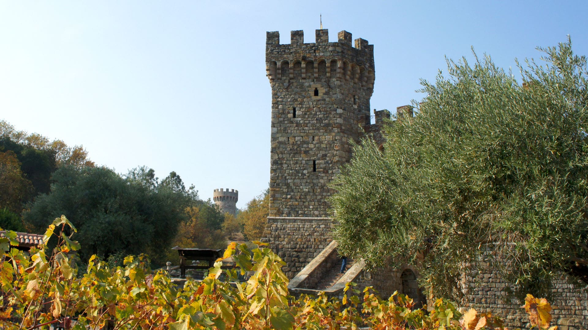
- Road Trip to Napa Valley, California, Winery
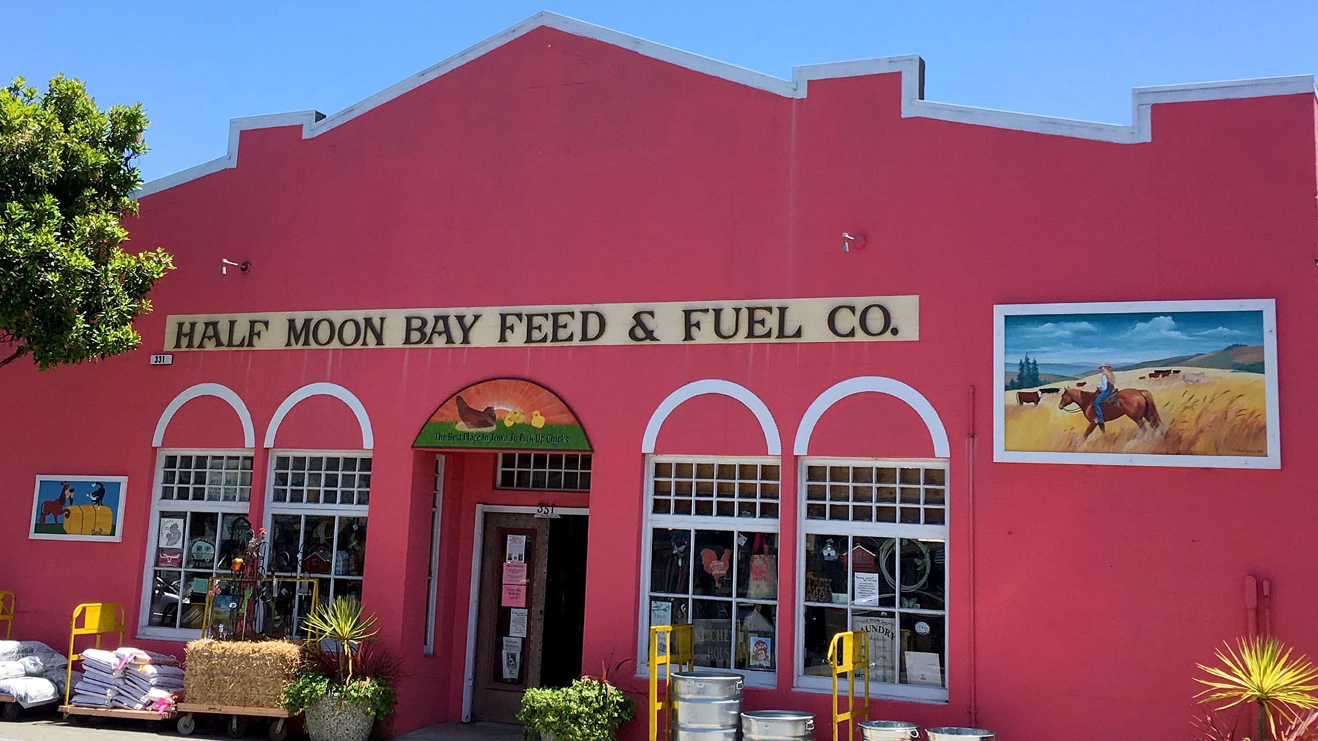
- Weekend Getaway to Half Moon Bay
- Road Trip to Calistoga, California
- Fall Foliage Road Trip in Road Trip From San Francisco to Yosemite
- Road Trip to Napa Valley, California
- Road Trip from Olympic National Park to San Francisco
- Pacific Coast Highway - California
- Beaches Near Disneyland
- Weekend Getaway to the Ghost Town of Bodie, California
- Road Trip to See California Wildflowers
- Road Trip along California's Redwood Coast
- Weekend Getaway to San Luis Obispo
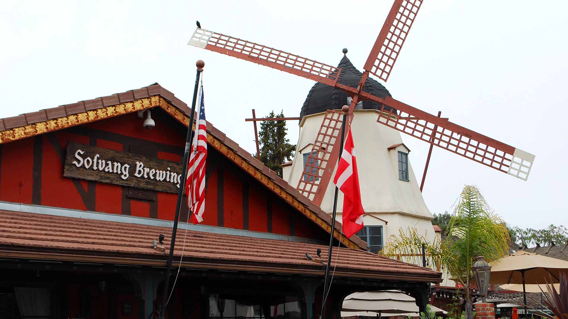
- Couple’s Weekend Trip to Solvang, California
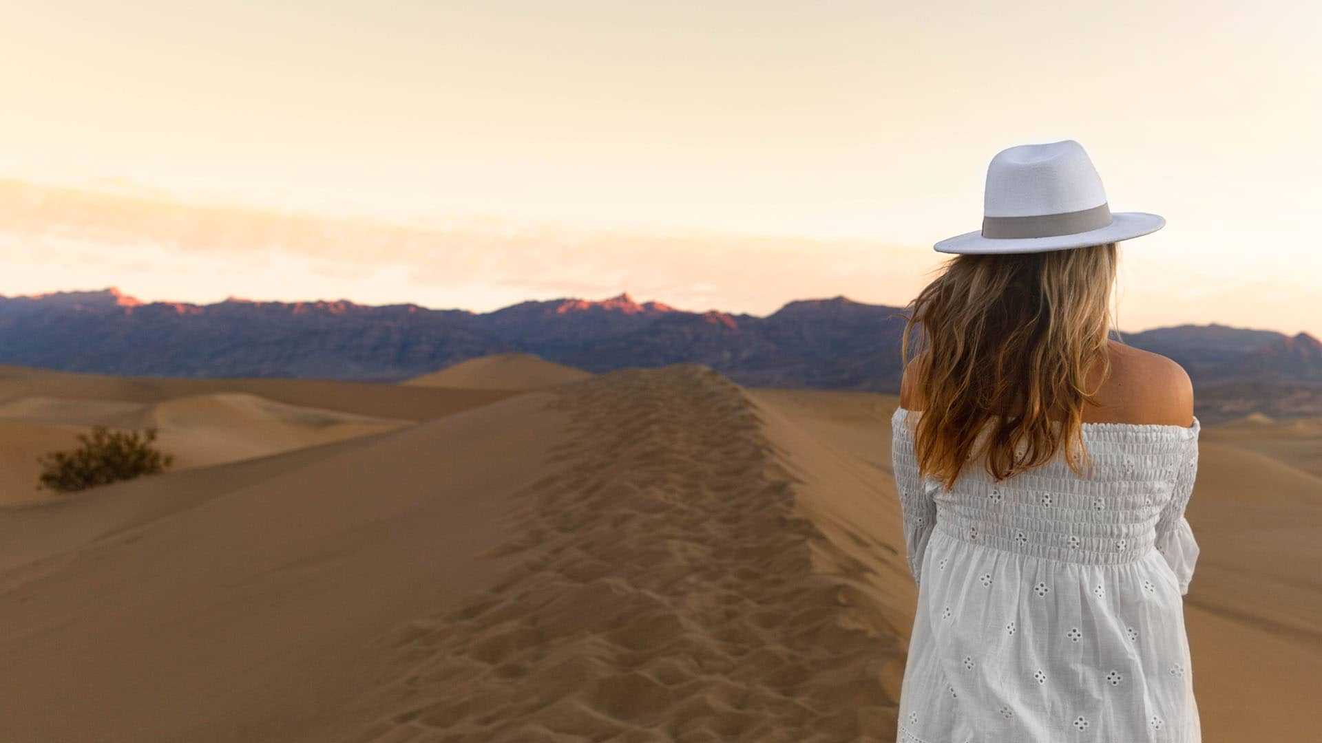
- Road Trip to Death Valley National Park
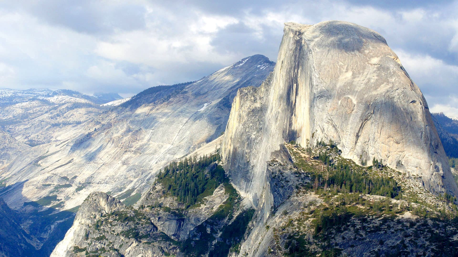
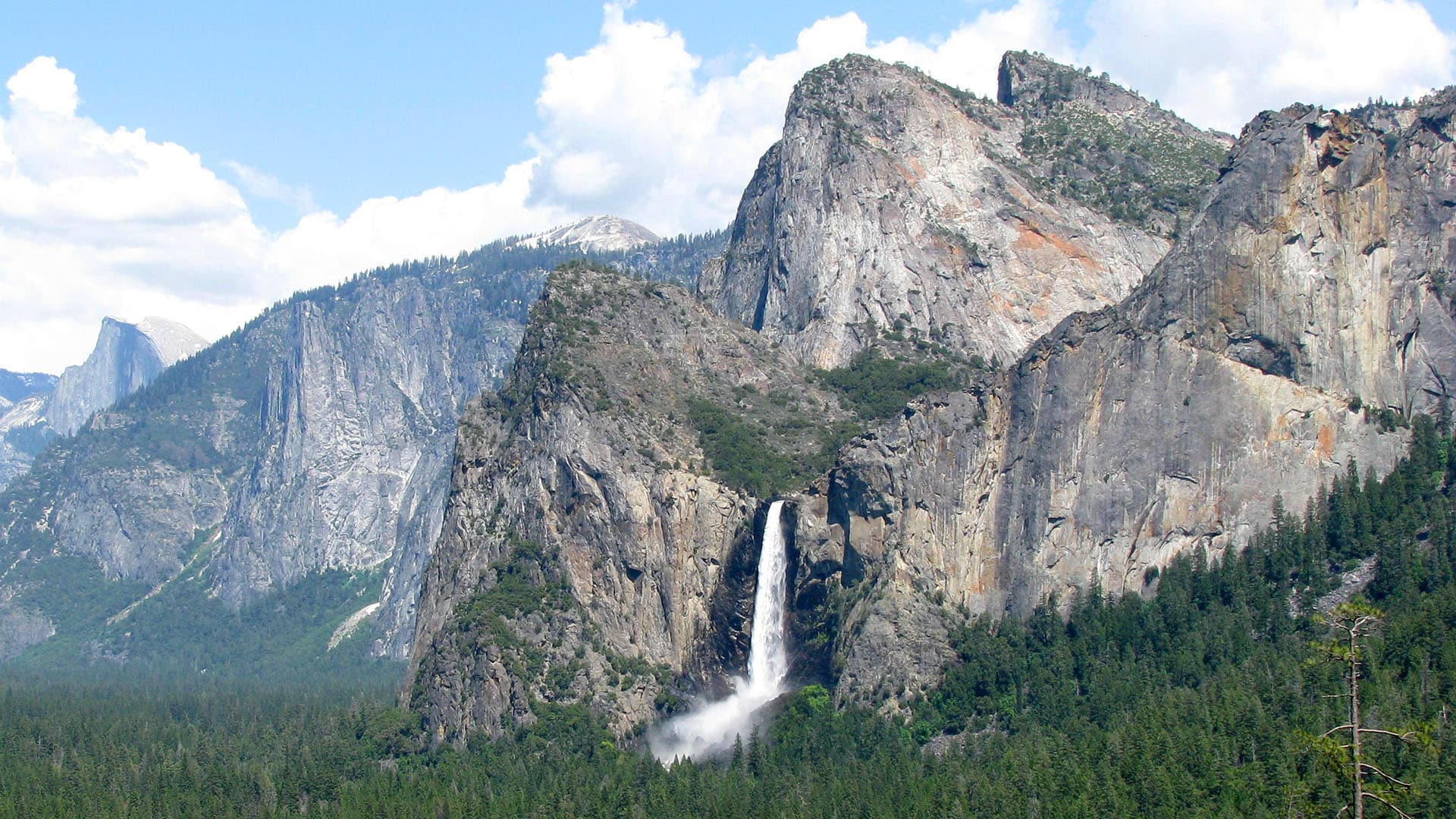
- Weekend Getaway to Yosemite National Park
- Modern-Day Prospectors
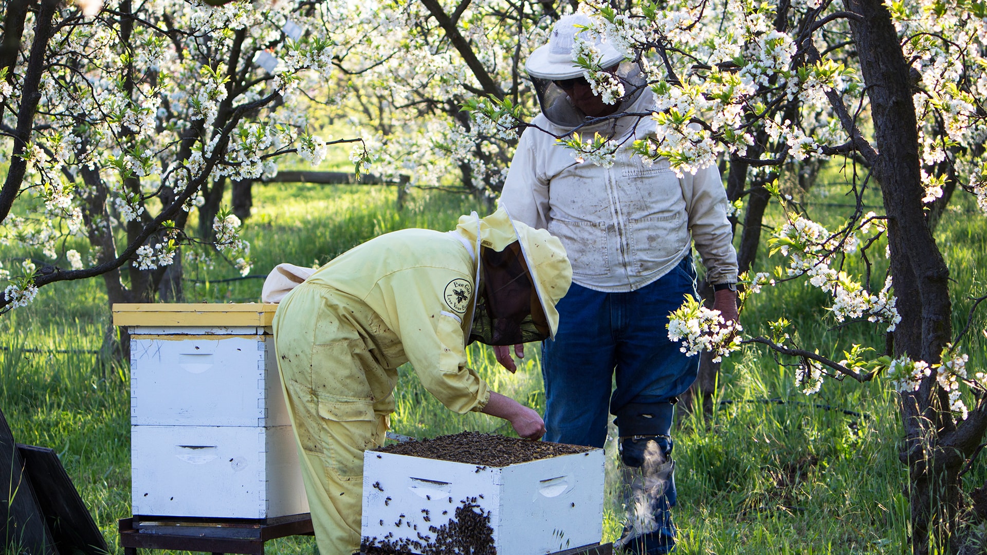
- The Bee Journey
- Rescue Relay
- Surfing on the West Coast
- California Trips